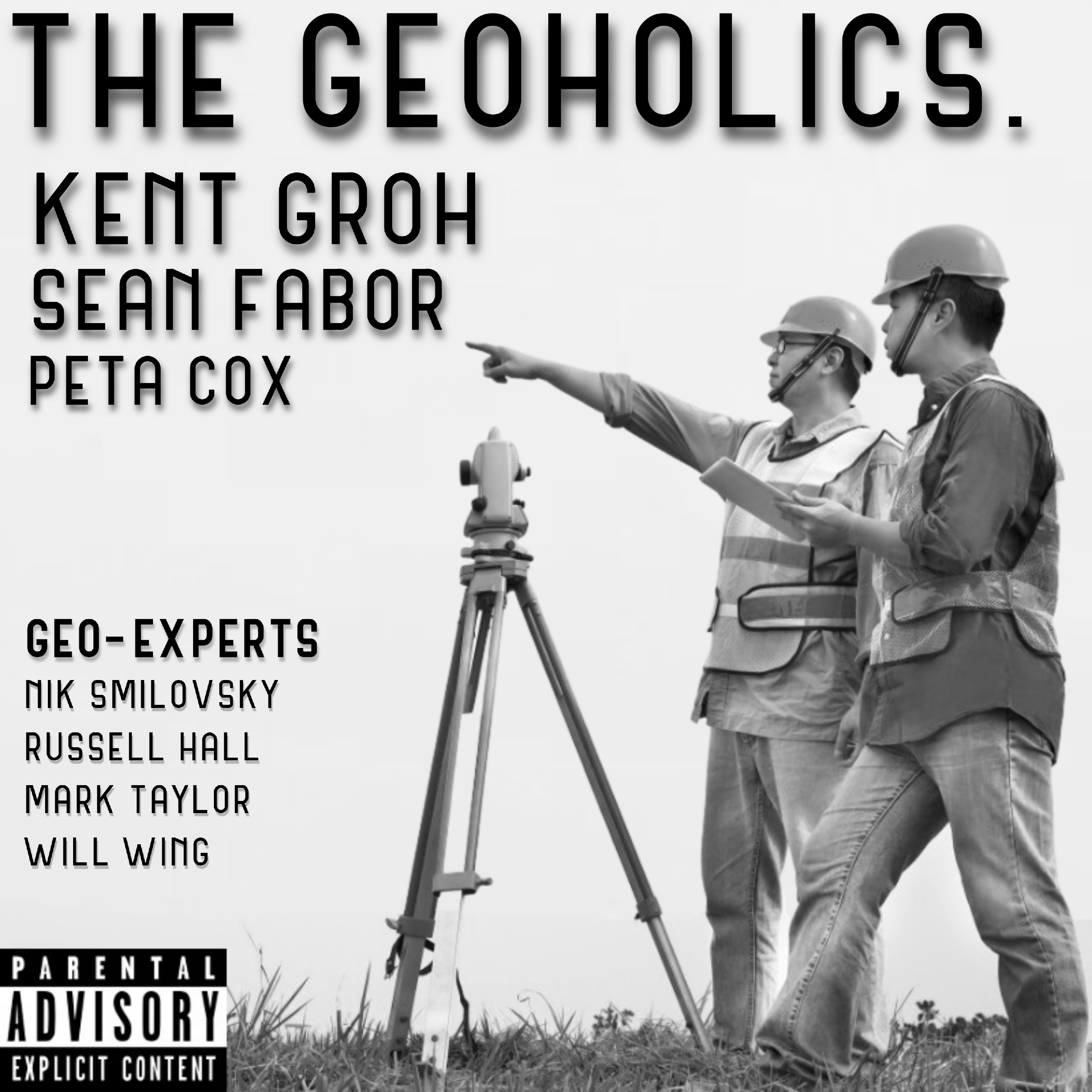
Episode 288 - Sean Donegan & Satelytics
What can a satellite see that the rest of us can’t? On Episode 288 of The Geoholics, we’re joined by Sean Donegan, President and CEO of Satelytics, to explore how AI and satellite imagery can help identify methane leaks, vegetation changes, land movement, encroachments and other risks across vast infrastructure networks. We get into what’s hiding inside those pixels, how an alert becomes a decision, and the question every surveyor should ask: How do we verify what the technology says it found? Plus, Sean takes on Bullshit, Breakthrough, or Too Soon to Tell? Can AI spot problems before operators know what to look for? Could satellite monitoring change the future of field inspections? Tune in for a conversation about intelligence from space, confidence on the ground, and what it all means for the people managing our physical world. Adding value and making friends! #TheGeoholics #GeoholicsPodcast #SeanDonegan #Satelytics #Geospatial #LandSurveying #RemoteSensing #SatelliteImagery #ArtificialIntelligence #Infrastructure #MethaneDetection #RealityCapture
You May Also Like

AI News Daily
brief.news

Artificial Intelligence Masterclass
AI Masterclass

Tech Brew Ride Home
Morning Brew

The Vergecast
The Verge

The Rollup
Where digital assets and finance converge. Hosted by Andy and Robbie.

Radio Miraya
Radio Miraya
Mark Tilbury
Mark Tilbury Fan

Jack Hopkins
Jack Hopkins

AI Unraveled: Latest AI News & Trends, ChatGPT, Gemini, DeepSeek, Gen AI, LLMs, Agents, Ethics, Bias
Etienne Noumen

Bitcoin en español
Daniel Vargas
AI News Daily
brief.news
Artificial Intelligence Masterclass
AI Masterclass
Tech Brew Ride Home
Morning Brew
The Vergecast
The Verge
The Rollup
Where digital assets and finance converge. Hosted by Andy and Robbie.
Radio Miraya
Radio Miraya
Mark Tilbury
Mark Tilbury Fan
Jack Hopkins
Jack Hopkins
AI Unraveled: Latest AI News & Trends, ChatGPT, Gemini, DeepSeek, Gen AI, LLMs, Agents, Ethics, Bias
Etienne Noumen
Bitcoin en español
Daniel Vargas
Community discussion